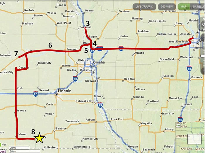
The 2nd day of the trip is when the action really begins. After leaving Saylorville, we drive west on 80 until we reach the Missouri River. First on the docket is some volcanic ash (Site 3) and loess (Site 4).
Day #2
|
The 2nd day of the trip is when the action really begins. After leaving Saylorville, we drive west on 80 until we reach the Missouri River. First on the docket is some volcanic ash (Site 3) and loess (Site 4). |
 |
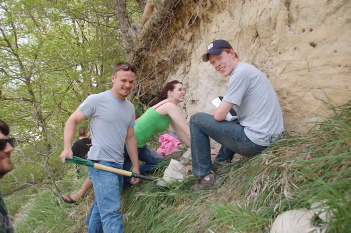 |
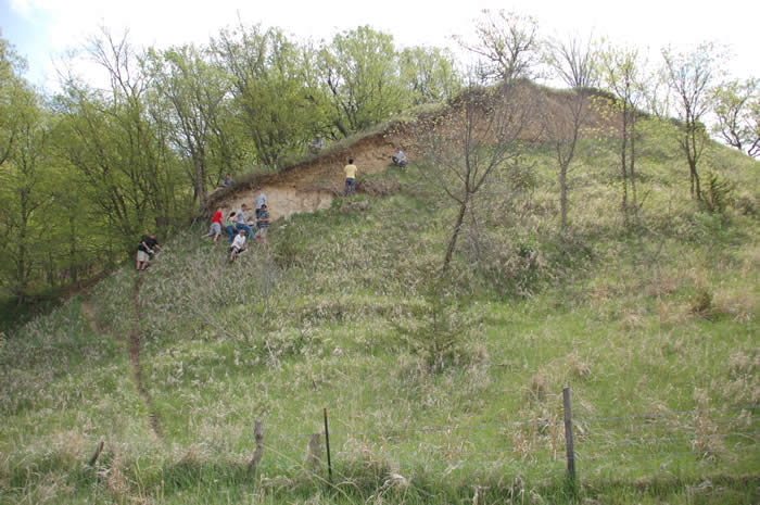
The County Line Ash exposure is a very cool site. Located on the east bluff of the Missouri (Site 3), it contains Pearlette Ash from the most recent eruption of the Yellowstone caldera. This eruption occurred about 600,000 years ago and deposited a bed of ash approximately 1 ft thick at this exposure. In the left image, students are clustered near the ash bed, which is mantled by loess. On the right, Phil holds a block of ash in his shovel.
 |
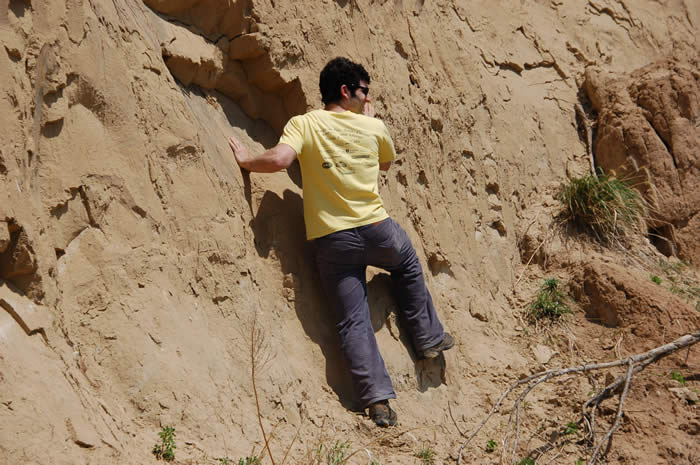 |
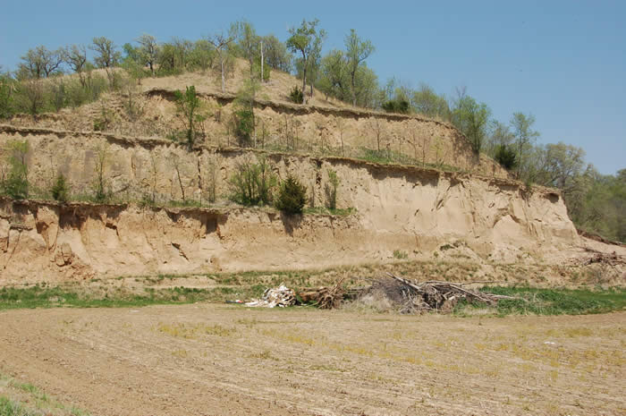
After checking out the ash, we visit the famous Loveland Paratype Section just down I-29. This site is also located on the Missouri river bluff in Iowa. The stratigraphy here is really interesting, consisting of the Sangamon paleosol at the base, which is overlain by Loveland (Illinoisan) and Peoria (Wisconsin) loess. In the left-hand image, the Sangamon is visible as the thick, darkish band in the lower part of the exposure. It is such an inspirational site that Looman just had to get up close and personal (right).
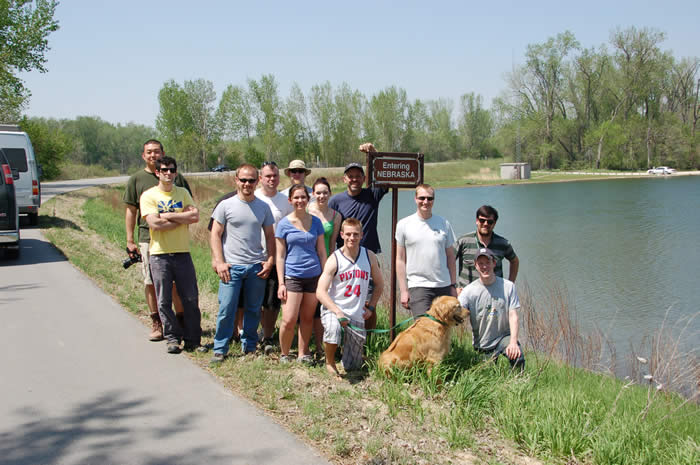 |
Shortly after leaving the Loveland Paratype locality, we drop down into the Missouri river floodplain and cross into Nebraska. Suffice it to say that it's a big moment. |
Once in Nebraska, the idea is to travel fast, light and scope out the Platte river.
 |
|
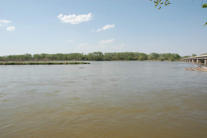
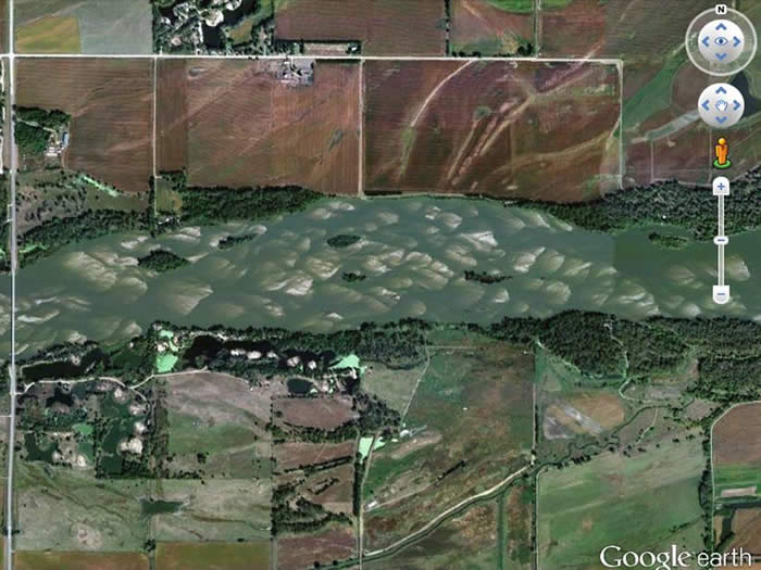
The Platte is an interesting stream. During pre-settlement time it was a classic braided system - broad and shallow with numerous mid-channel bars. Although it's much narrower now due to water extraction, it is still largely a bed-load stream with a braided pattern, as you can see in the Google image on the left. A good place to look at it is at the bridge near Schuyler (right).
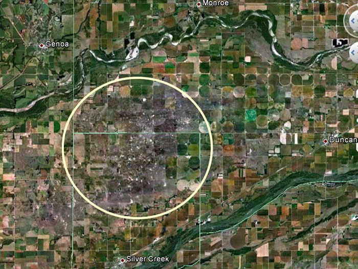 |
Further west along the Platte is the Duncan dune field, which was last most extensively activated about 1,000 years ago. This dune field is interesting geographically because it's sandwiched between the Platte River (south) and the Loup River (north).
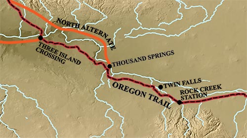
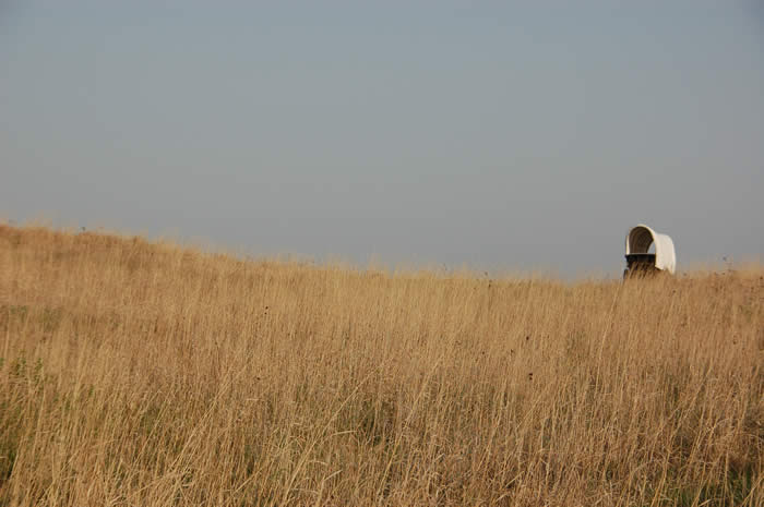
After visiting the Duncan dune field, we drive south to Fairbury State Park to camp for the night. This park is cool because it is very close to Rock Creek Station which was a Pony Express stop back in the day. It is also located on the old Oregon trail. Most cool is that this section of the trail is preserved and the old ruts are visible.
 |